Weather intelligence that improves
Mission Outcomes.
Turn unpredictable weather into a tactical advantage. Precision forecasting for aviation, artillery, UAVs, and battlefield mobility.
Why Weather Matters?
In modern warfare, environmental data is as critical as ammunition. Visibility affects drones, wind alters ballistics, and terrain wetness dictates movement.
The Fog of War
Standard forecasts lack the resolution needed for tactical operations, leaving units exposed to sudden shifts.
Tactical Advantage
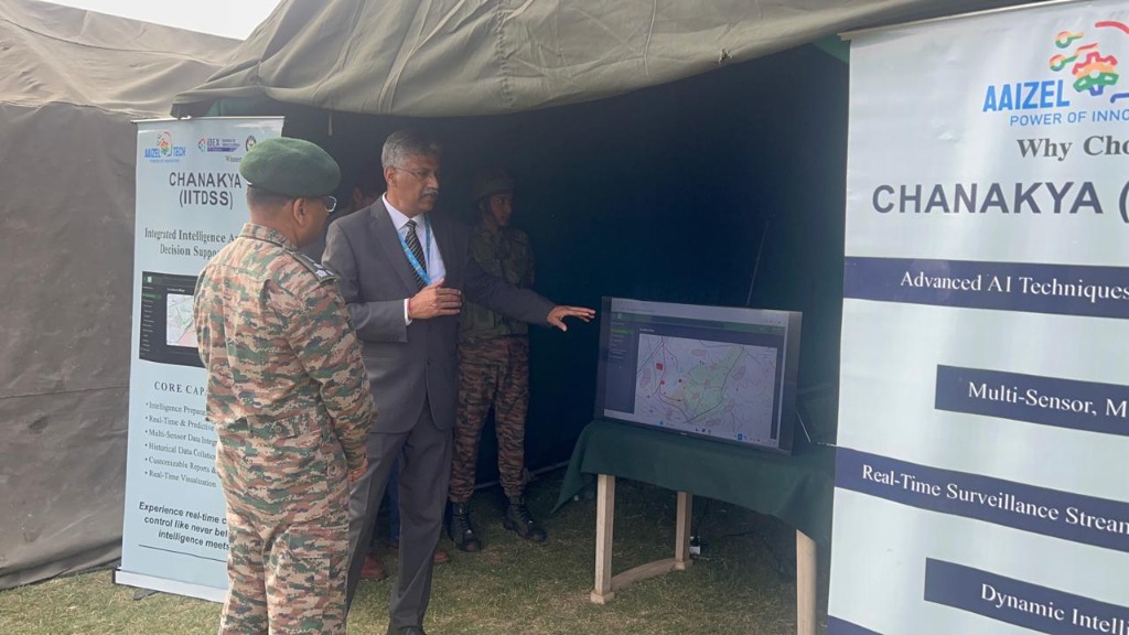
Chanakya fuses satellite, radar, and sensor data to generate hyper-local "Go/No-Go" insights for commanders.
Mission Workflow
From raw data to actionable intelligence in three steps.
Collect & Fuse
We aggregate data from satellites, local sensors, radar inputs, and terrain intelligence.
Hyperlocal Forecast
Our AI models generate high-frequency weather updates specifically for your Area of Operations (AO).
Mission Output
Receive clear Go/No-Go signals, ballistic correction data, and visibility alerts.

C4ISR Ready.
Field Proven.
Designed for seamless integration with existing Command, Control, Communications, Computers, and Intelligence systems.
Ballistic Winds
Wind profiles at key heights for artillery accuracy.
Visibility & Fog
Critical alerts for UAV and flight operations.
Terrain Trafficability
Wetness and flood risk for ground convoy mobility.
After-Action Audit
Secure logs for mission analysis and training.
Command FAQ
Common questions for operational deployment.
Is the data secure?
Yes. We offer on-premise deployment options for air-gapped networks.
What is the forecast resolution?
We can achieve resolution down to 1km x 1km for specific zones.
Can it integrate with existing BMS?
Yes, Chanakya exposes standard APIs compatible with modern Battle Management Systems.
Does it work in remote areas?
Yes, we utilize satellite downlinks and independent sensor arrays.
Ready to operationalize Chanakya?
Pilot → Integrate → Scale across commands. Secure your environmental advantage.